Idaho Falls is located in the state of Idaho, which is in the northwestern region of the United States. It is a fairly large city, with a population of nearly 65,000 people. The city is located about 160 miles east of Boise, and it is also close to Yellowstone National Park and Grand Teton National Park. If you’re wondering how far Idaho Falls is from the Canadian border, we’ve got the answer for you!
- How far is Canada from Idaho Falls?
- What cities do you pass through from Idaho Falls to the Canadian border?
- Which highways do you take from Idaho Falls to the Canadian border?
- Do you have to go through Montana to get to Canada from Idaho Falls?
- How close is Idaho Falls to Yellowstone National Park?
- Conclusion
How far is Canada from Idaho Falls?
Idaho Falls is located in eastern Idaho. Idaho Falls is the largest city in the eastern part of the state, and it is home to a variety of businesses and cultural attractions. The city is also a popular tourist destination, thanks to its proximity to Yellowstone National Park.
If you’re wanting to drive to Canada from Idaho Falls, the fastest route would take you about 544 miles or 8 hours and 28 minutes to the Porthill Border Crossing, passing through the state of Montana on your way.
If you wanted to head to the Eastport-Kingsgate Border Crossing from Idaho Falls, it would be 548 miles or 8 hours and 43 minutes.
What cities do you pass through from Idaho Falls to the Canadian border?
There are a few different routes you can take from Idaho Falls to the Canadian border, so it really depends on which way you go. But if you go the shortest way, here are some of the towns and cities you will pass through on your way:
- Dubois, ID
- Dillon, MT
- Deer Lodge, MT
- Missoula, MT
- Thompson Falls, MT
- Moyie Springs, ID
If you want to go through more of Idaho on your trip, you can take I-90 from Missoula to Coeur d’Alene, and pass through the following additional towns:
- Coeur d’Alene, ID
- Sandpoint, ID
- Bonners Ferry, ID
This route will add about 51 minutes and 40 miles to your trip compared to the shorter route mentioned above.
Which highways do you take from Idaho Falls to the Canadian border?
Since there are a few different routes you can take, the highways will depend on which way you go. If you take the shortest route, you will go on the following highways and interstates:
- Interstate I-15: This Interstate is a major north-south interstate highway, all the way from Southern California to the Northwest.
- Interstate I-90: The longest Interstate Highway in the US, I-90 connects Seattle, WA all the way to Boston, MA.
- Highway MT-200/US-93
- Highway MT-56
- Highway US-95
- Highway US-2
Do you have to go through Montana to get to Canada from Idaho Falls?
If you wanted to stay in the state of Idaho on your trek from Idaho Falls to Canada, there is a way you could go to not go through Montana. Though at 765 miles (or 12 hours 58 minutes), it’s 217 miles longer, adding 4 hours and 15 minutes to your trip.
On this trip through Idaho, you would go through or near Pocatello, Mountain Home, Boise, McCall, Moscow, Coeur d’Alene, Sandpoint and Bonners Ferry.
While significantly longer, it is a beautiful drive and you would get to go through some bigger cities in Idaho.
How close is Idaho Falls to Yellowstone National Park?
Idaho Falls is located in the Southeast corner of the state of Idaho. Being close to the Wyoming border, Idaho Falls is also not far from Yellowstone National Park. Idaho Falls is 109 miles (or 1 hour 52 minutes) from West Yellowstone, MT, which is the west entrance to the park. If you wanted to head to the south entrance to Yellowstone National Park, you could get there going 146 miles (or 3 hours 16 minutes), also passing by Grand Teton National Park.
Conclusion
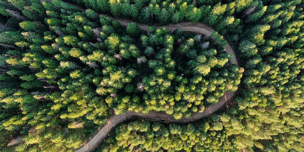
If you’re ready for a roadtrip through some of the most beautiful parts of the country, driving from Idaho Falls to the Canadian border is a sure winner! With majestic mountains, pristine forests and plenty of wildlife, you’re sure to see some amazing sights on your journey. Whether you decide to drive through Montana on your way, or take the longer route through Idaho, you won’t be disappointed. Happy driving!


